Around the Solent Way coastline, up the River Hamble + a hill & back – 20 miles

A 7am start saw myself, Craig Goodwin, Paul Coates and Mark Greenfield setting off from Lee on Solent’s amusements car park with both “banter” and light drizzle in the air. I’d aimed at a route that was similar in nature to the Arun River Marathon that 3 of the 4 of us are running. Craig was returning from the SDW50 and a knee injury which sadly fared up late on.

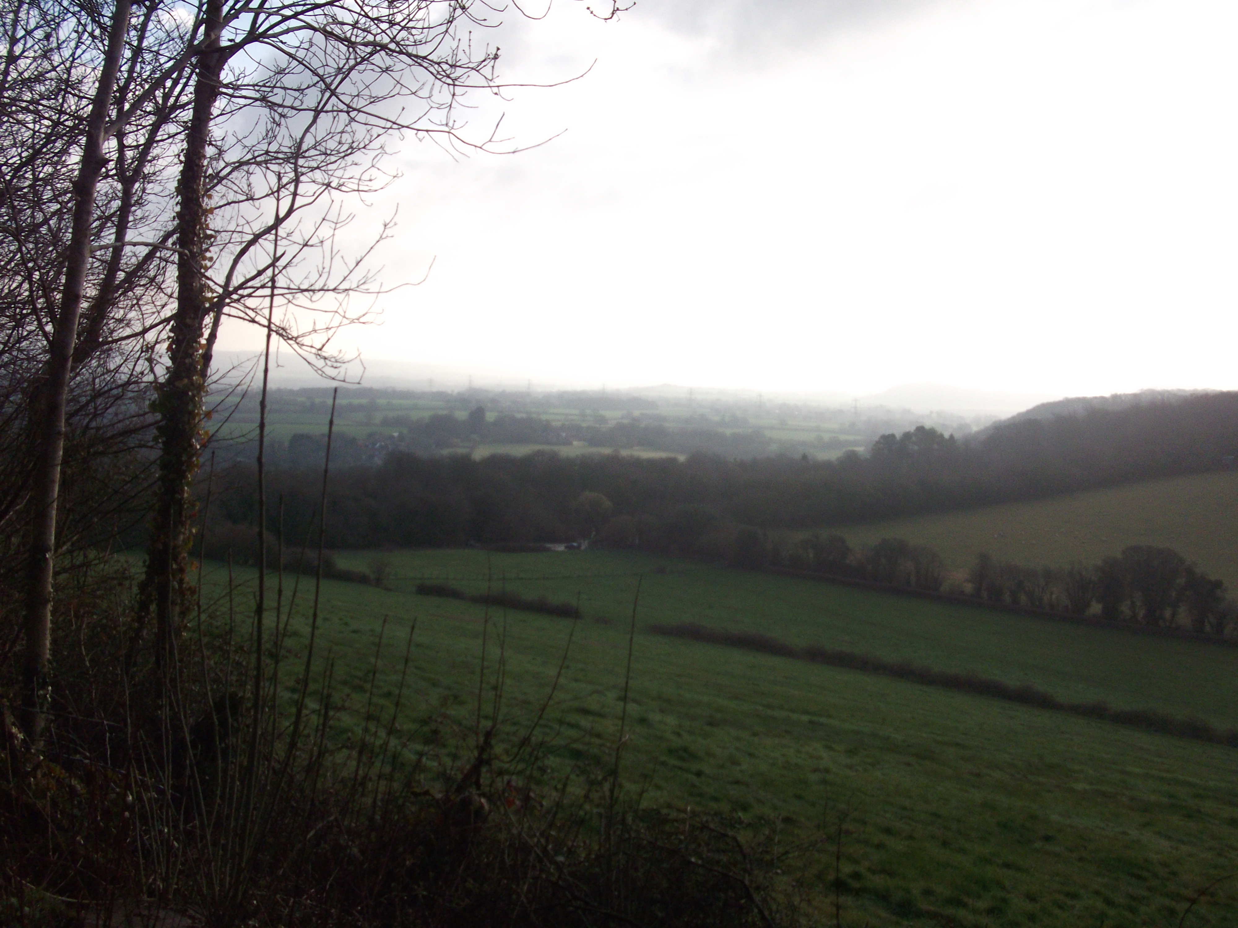
The wind off the sea was against us, as we ran along Hill Head, with views of the Isle of White to our left and the fields to our right this meant the coastal path was living up to its name. The path has a number of shingle sections which were run with relish and as Fawley refinery and big oil tankers came into view, Warsash was upon us. I could taste the salt on my forehead as we headed inland on the Hamble riverbank.

The Hamble rivers 100’s of yachts were a sight to see and by now we’d all agreed that the latest “Thomasson’s Tours” was going well. We crossed the bridge at Lower Swanwick and started the uphill run. With the weather improving Paul and Craig ran on an extra 1/2 mile and Mark and I turned for home. It’s a pleasure running in this area and we are very lucky to have it on our doorstep.

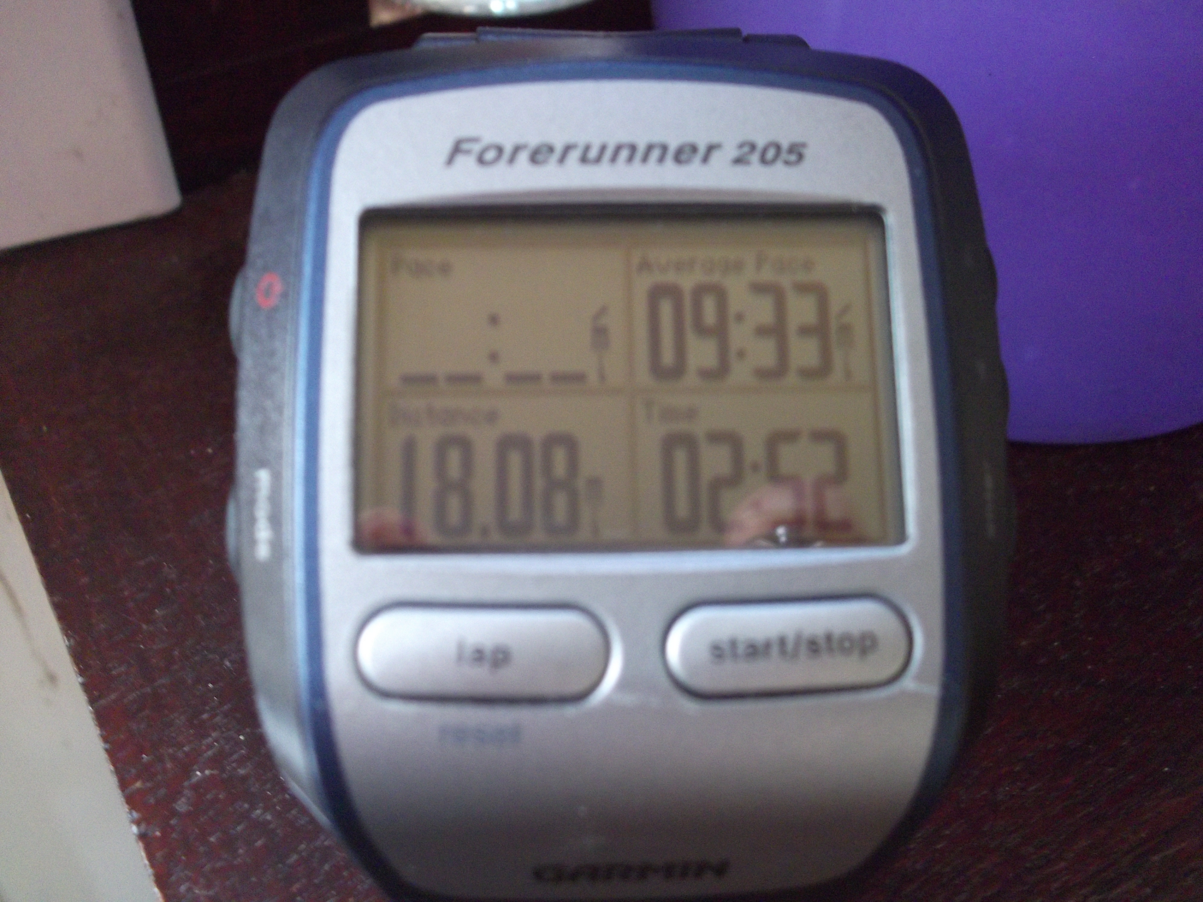
A feature of today’s run was the “banter” which is necessary when you are taking on 20 miles, even if it’s on a scenic route such as today. We passed the boatyards and yatchs from earlier and were soon back on the coast with the wind behind us. We discussed Craig’s worsening knee problem and agreed to press on as a “3” and jump in the car to pick him up. All in all 20 ish solid coastal/riverbank miles with a hill for good measure. Great company and a great run.

solent wayshing

Not all runs go smoothly : 19 miles covered 18.1 run !!

I’d planned a 19 mile run as I’m entered in the Arun River marathon in 4 weeks time. The route I chose mirrored the elevation as much as I could. Setting off from Fareham (Hampshire), along to Titchfield and onto Warsash (all road) then onto the riverbank of the Hamble (8 miles) and up a 1.5 mile hill to the Windhover roundabout, so an out and back 9.5 miles = 19 in total.

As I set off at 5.30pm the sun was still shinning and all was good. The outward 9.5 miles went well and the riverbank section was particularly enjoyable with the yachts bobbing at their moorings. I took the hill at a descent rate and even got a beep from a car full of ladies, who I can only presume were short sighted.

My return leg saw the sun much lower in the sky and a breeze blowing off the river that needed some extra effort. By mile 15 my right thigh was starting to ache and in many ways it’s this kind of run that can be just as constructive as an “issue free” one. As a runner we all hear those “Voices” … “slow down, walk a bit, this is getting hard” etc and it’s a case of managing it.

I slowed down initially and that helped but Titchfield hill had to be walked. I’m no expert but I think you have to listen to your body, blindly fighting against it is an option, but by the time I’d added 2 or 3 walks to ease my thigh I got back into a rhythm. I made a point of stopping my garmin when I walked, 18.1 run 0.9 walked, so in my book the damage limitation paid off.

DSCF3862


8 miles of East Devon beach and cliffs on the Coastal Path

While on holiday I had a cheeky run along the cliffs planned as they looked far to inviting to be ignored. I got up early and decided to run along the beach first. The Sandy Bay beach is so called as it’s a three quarters of a mile stretch of “picture postcard” golden sand. The cove is around the headland from Exmouth and at 7.30am with hardly a wave in sight it was a pleasure to run on.

Once I’d run up the steep but short beach path I was onto the headland and heading out of the caravan park. The reassuring wooden coastal path signs soon pointed me in the direction of a narrow track that ran along side the cliff edge. The highest point of the cliff is West Down Beacon which is one of the series of beacons that were set alight, along the coast, to warn if the French were invading at the time of the Napoleonic wars. Today it was only me 🙂

The first photo below shows the reason I wanted to run here as it’s a good old slog up to the top. I had amazing views in all directions, not least the sheer drop down to the sea !! My aim was to run to Budleigh Salterton and back via the cliffs. The second photo below is the view from the end of the stony beach at Budleigh, looking back to the cliffs that I’d come from.

All that remained now was to run back along the narrow track with the sound of the sea gently lapping on the stones, the sent of the warm air blowing across the fields and the sight of the sea stretching out for miles towards the horizon. It was only 8 miles but this is why “irunoffroad”.

DSCF3794 DSCF3791

Hampshire – 3,000 miles of footpaths to run. “Step out of your door and Go Explore”

All credit to Hampshire County Council for putting together links to the 12 long distance paths that “run” through our county and give endless possibilities for us to get away from towns and tarmac. It’s a classic case of “well I didn’t know that, and now I do, I want to run it”.

There’s so much scope to plan much more interesting routes. All of a sudden you can add hills, fields, styles, streams and hidden paths that you never knew existed. Many of the Paths and Ways cross each other so you can hop from one to another and personalise your route. Add April’s sunshine and you have the perfect mix.

Our recent run from Winchester down to Fareham did just that starting with the obvious South Downs Way and then linking lesser well know routes. Keeping a sharp eye out for different coloured route markers is essential and having a printed version with you will save those difficult “is it here that we turn off ? ” decisions. Planning your route will both save time and add to the sense of achievement when you have finished.

Click on the link or find a similar one in your are. Step out of your door and go explore.

http://www3.hants.gov.uk/longdistance.htm
 

South Downs Way & QE Park run 17.5 miles – 4/4/15

When we found out that Nikki Yeo from Fareham Crusaders had her 100th Park Run at QE park the Easter run then became easy to plan. Mark Greenfield and myself agreed starting from the Sustainability Centre down to, and through, Queen Elizabeth County park could then be extended across to Chalton and loop back. This route means lots of mud and lots of elevation, (all the good stuff !!) and a few new miles of the Staunton Way to explore too.

On our way around we heard skylarks and came across people setting up a husky sleigh. Once returned to QE Park we had racked up 10.5 miles and met up with our fellow Crusaders. We formed a tunnel of honour for Nikki’s start and completed the 5K. Congratulations to Nikki and we were off again up Butser Hill.

Running up Butser, after a half marathon of country hills and trails, my legs were screaming !! Getting close to your limits is something that can be managed but I think you have to respect them and walk when necessary. The trail levelled off thankfully and the relief of a couples miles of country lanes followed. So 17.5 miles and a calf crunching 2,100 feet of elevation along with a liberal sprinkling of mud meant we were done. A good test of our hill form and all before 10.45am, sorted.

DSCF3691pr