 I’ve been drawn to Butser Hill for over a quarter of a century. This iconic hill was the location of my first race when I moved to Hampshire and I never tire of return visits. Situated not far from Petersfield it towers above the A3 and offers any elevation hungry runners, walkers or riders the opportunity to test themselves.
Why ? I hear you say …. well, apart from the personal satisfaction, the views are amazing !! Portsmouth Spinnaker tower and the Isle of Wight to name two.
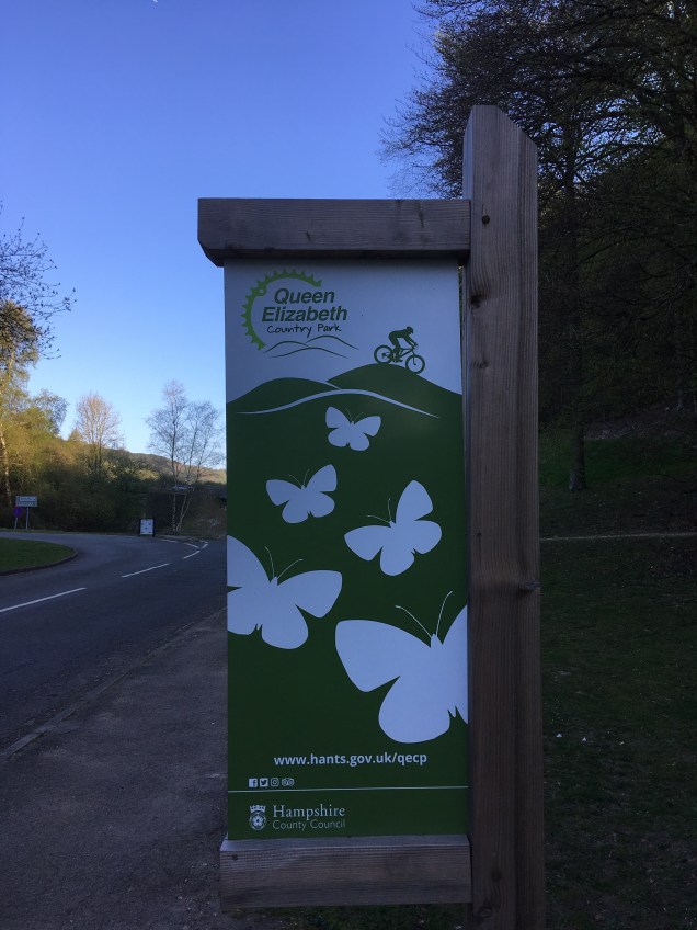
I arrived early enough to have the whole hill to myself. The shadows that darkened its lower slope would soon disappear as the morning sun rose and a steady trickle of “outdoors types” appeared from Queen Elizabeth Country Park on the other side of the A3.
 Butser can be climbed from a few different angles but I stuck with the main path that then forks off to the right on its way towards the trig point at the top.
Sheep and cows both graze on different slopes and at different times of the year so the grass is short wherever they have been. Naturally, our four legged friends can leave behind clues that they’ve been there, so bear this in mind.
Its worth saying that the visitors centre is currently being modernised so temporary structures are in place.
In order to gauge the height of the hill this next photo shows the view looking back from the fence line and gate that crosses between the wooded areas.
 The hill gradually ramps up and then there’s the steepest section of 150 metres or so. The fact that you can only see the heads of the two walkers gives you an indication of the gradient. It’s here that your breathing and fortitude are tested, “keep on going” !!
Once through the gate its onwards and upwards for a gradual climb towards the satellite mast and then the terrain flattens once you reach the summit and the trig point.

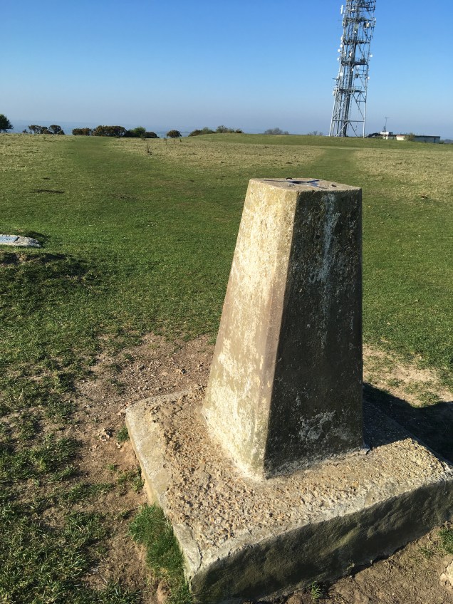 Statistically the elevation is around 500 feet from the car park to the trig and 400 from the lower slopes of my first photo. This is enough to earn it the “beast” status I refer to in my title. Distance wise thats about a mile and a quarter and a mile.
I could let you into a secret that there’s actually a car park just the other side of the satellite mast as well as a café but you’d be missing out on the challenge of getting there !!
My personal aim for the day was four ascents. Hill 1, ran all the way, Hill 2, ran most of the way, Hill 3, combined walking and running, Hill 4, probably a 50/50 run/walk.
Yes your calves and thighs are tested to the full on the way up and there’s an inevitable jarring of your quads as you make the descent but you really can’t replicate this kind of hill training. Strength and confidence are gained in equal measures.
On one of the descents I had to negotiate “Hill Security” ….. I asked kindly if they’d “move” over. With this area being part of the South Downs National Park all the livestock are used to visitors but these cows are big old units so I showed them lots of respect.
 The countryside is such an asset and it’s often closer to us than we think. My focus today was strength work running up and down this hill but in the process you are treading a path that’s been used for hundreds of years along the South Downs Way and effectively going back in time because it would have looked exactly the same, apart from the main road !!
In summary, a beautiful location that’s well worth a drive out to.
Thanks for reading, Roger
